A bulk carrier lies at a berth in Singapore, loading for Rotterdam. It is January.
She may not load as deep as the water in front of her would allow. Somewhere in the middle of the voyage she will cross a line on a chart, and from that point the maximum draft she is permitted to have is shallower than the one she could legally sail with today.
Nothing about the ship changes. Nothing about the cargo changes. The rules change, because the water does.
The disc, and the six lines beside it
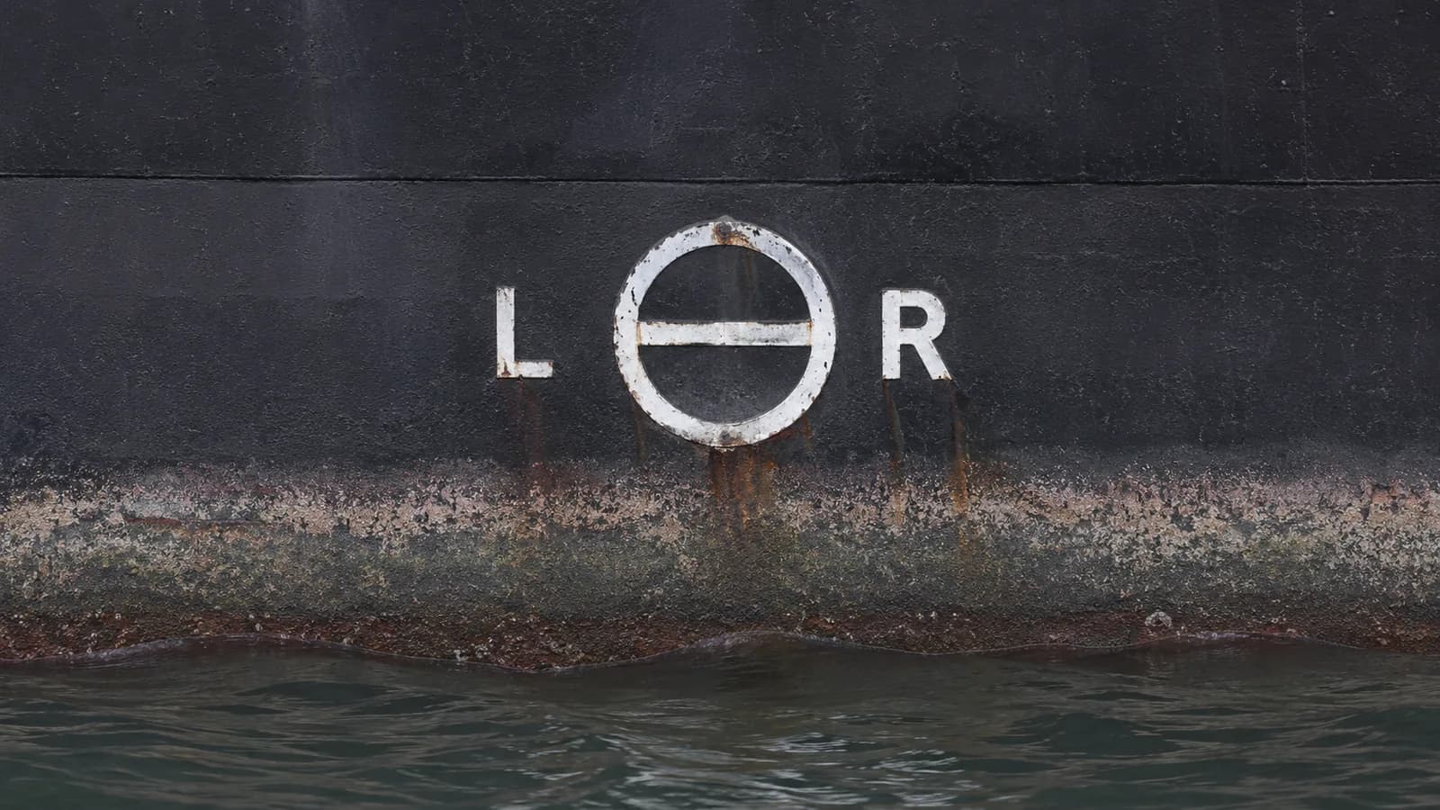
Amidships on both sides of every commercial hull there is a circle with a horizontal line through it. Beside the circle, a ladder of shorter lines, each with a letter or two.
The circle is 300 millimetres across. The line cutting through it is 450 millimetres long and 25 millimetres wide, and its upper edge marks one specific draft: the deepest the ship may float in summer, in salt water. That is the reference. Every other mark is measured from it.
The ladder beside the disc reads, from top to bottom:
| Mark | Meaning |
|---|---|
| TF | Tropical Fresh Water |
| F | Fresh Water |
| T | Tropical (salt water) |
| S | Summer (salt water) — the reference |
| W | Winter (salt water) |
| WNA | Winter North Atlantic |
Above the disc, further up the side, sits a short horizontal bar called the deck line — 300 millimetres by 25. The vertical distance from the deck line down to the summer line is the ship's summer freeboard, and that distance is the number the whole system exists to protect.
The two letters flanking the disc are not decoration. They identify who assigned the marks — LR for Lloyd's Register, AB for ABS, BV for Bureau Veritas, and so on. Somebody put their name on that line. How a classification society comes to carry that authority is covered in our explainer on class.
The canoe on the pond
Picture loading a canoe on a flat pond. You can pile it high, right down to where a hand's width of side is still showing above the water, and paddle across without trouble.
Now take the same canoe, loaded the same way, into a river with a running chop. The hand's width that was ample on the pond is not ample now. Waves come over the side. The canoe has not changed and the load has not changed — the water has, and the margin you needed was never about the canoe.
That margin is freeboard. The load line is the industry's way of writing down how much of it a ship must keep, and of admitting that the required amount is not the same everywhere.
Why the sea moves the line
Two things push the permitted draft up and down.
Density. Fresh water is less buoyant than salt. The same ship carrying the same cargo floats deeper in a river than at sea. The F and TF marks sit above S and T for exactly this reason: they let the ship load deeper alongside, on the understanding that she will rise as she reaches salt water. The permitted difference is the fresh water allowance, and it comes out of the ship's own hydrostatics:
FWA (mm) = Displacement ÷ (4 × TPC)Displacement here is the same quantity a draft survey measures. If that word is doing more work than it looks, our tonnage explainer separates it from deadweight and the two tonnages that are not weights at all.
Season and sea area. The world is divided into zones — tropical, summer, winter — and some of them change designation by month. A ship in a winter zone must show more freeboard than the same ship in a summer zone, because winter seas are rougher and the reserve buoyancy has more work to do.
The obligation follows the ship. She must be at or above the correct mark for the zone she is in, at the moment she is in it. Which is why the Singapore loading plan has to account for a line the ship will not reach for two weeks.
The mark that only applies to smaller ships
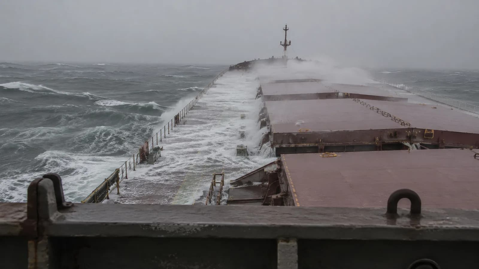
WNA is the odd one. It sits below the winter mark and it does not apply to everybody: ships over 100 metres in length are exempt from it and may load to the ordinary winter line in the North Atlantic.
The reasoning is proportion. A short ship in a long North Atlantic swell can find itself spanning a single wave, with the bow and stern unsupported. A 300-metre hull in the same sea is bridging several waves at once and is not exposed the same way. So the extra freeboard is demanded from the vessels that need it and not from the ones that do not. Where that 100-metre threshold sits relative to the working fleet is easier to see against the bulk carrier size classes.
What the line is actually protecting
It is easy to read the load line as a cargo limit. It is not, or not primarily.
What it protects is reserve buoyancy — the sealed volume of hull above the waterline that is not currently holding the ship up, and which is what she has left when a wave comes aboard, when she rolls hard, or when a compartment floods. Freeboard is that reserve expressed as a height you can paint on a hull and read from a launch.
Which is why the enforcement is unusually blunt. Overloading is not a paperwork irregularity. A port state control officer can hold a ship until cargo comes off, and the ship is not going anywhere in the meantime.
The line that owners used to draw themselves
Samuel Plimsoll spent the 1870s campaigning against overloaded and over-insured ships, and the Merchant Shipping Act 1876 made load lines compulsory on British vessels and on foreign vessels using British ports.
The Act had one flaw, and it is a good one to remember. It required a line. It did not say where. The owner chose the position — and the accounts from the period include lines painted so high as to be meaningless, with at least one retelling of a line applied to the funnel.
That loophole stayed open for fourteen years. The Board of Trade only gained the power to fix the position in 1890.
The modern rules descend from the International Convention on Load Lines, 1966, in force since 1968 and amended by the 1988 Protocol. The zones and the arithmetic have been revised. The idea has not: somebody independent decides how deep a loaded ship may sit, and paints it where anyone can check.
Which is the other half of a pair. The load line says how deep she may sit. Working out how deep she is, and what that means in tonnes of cargo, is a separate procedure with its own arithmetic — the draft survey.
Which zone a voyage crosses, and when, changes what a ship may legally carry. Route choice and departure date are part of the cargo calculation, not separate from it. The Ship ETA Calculator compares Suez, Cape, Panama and Northern Sea Route options with distance, transit time and fuel by grade.
Open Calculator →- International Convention on Load Lines, 1966, as amended by the 1988 Protocol (IMO) — the marks, the zones, and the assignment of freeboard
- Lloyd's Register Foundation Heritage & Education Centre — Samuel Plimsoll, the Merchant Shipping Act 1876, and the 1890 transfer of authority to the Board of Trade
- Marine surveying and load line practice literature — mark dimensions, fresh water allowance, and WNA applicability